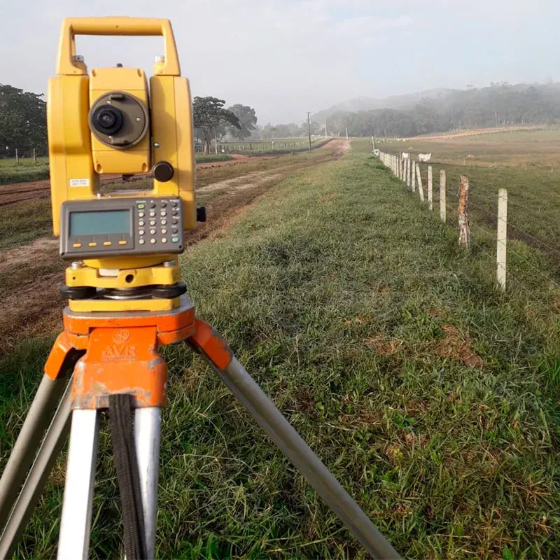
Surveying & Georeferencing
CAPER Engenharia offers complete solutions to ensure the precision and compliance of your property, efficiently meeting technical and legal demands. We work with the following services:
What we offer
- Planimetric-Altimetric Cadastral Survey: detailed mapping of land and properties for projects and regularizations
- Georeferencing of Rural Properties: meeting INCRA requirements, ensuring certification and registration
- Construction Staking: precision in the implementation of architectural and engineering projects
- Land Division and Unification: technical processes for compliance with current standards
- Subdivision and Area Rectification: documentary regularization and adjustment of property measurements
Need this service for your project?
Talk to our team and get a tailored assessment.